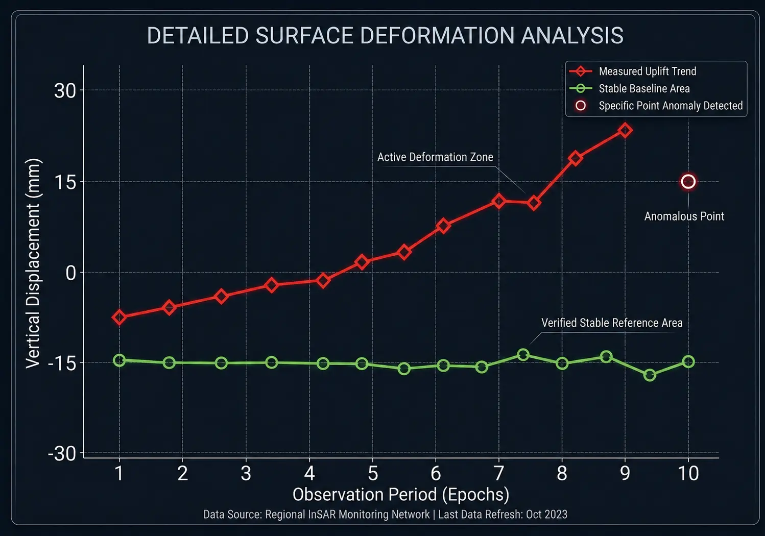
Historical Analysis
Establish pre-construction baselines and validate historical asset stability using archived satellite data.
Historical Analysis
Understand how ground movement has evolved over time through satellite-based InSAR analysis. We analyse historical satellite data to identify deformation patterns, movement trends and areas of persistent change, providing a baseline for assessing current ground conditions and potential risks.
Key Benefits
- Understand historical movement and how deformation has evolved over time.
- Identify deformation hotspots and areas showing persistent or significant movement.
- Establish a baseline of ground behaviour for future assessment and monitoring.
- Assess potential ground-related risks using historical evidence.
- Support informed decision-making for investigation, planning and risk assessment.