
ENGINEERING & GEOTECHNICAL CONSULTANTS
Strengthen Your Engineering Assessments with Ground Deformation Intelligence
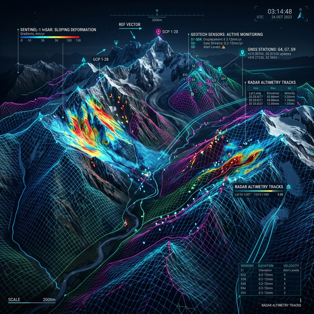
Whether you are assessing a mine, infrastructure project, construction site, energy asset or urban development, understanding how the ground behaves over time is critical. InSpectiv Labs provides satellite-based InSAR analysis that complements your field investigations, geotechnical studies and conventional monitoring.
BUILT FOR YOUR PROJECTS
Mining & Resources
Analyse deformation across mine sites, slopes, waste dumps and surrounding areas to identify zones requiring further investigation.
Infrastructure & Construction
Assess settlement and deformation around roads, railways, bridges, tunnels, buildings and construction sites.
Energy & Utilities
Monitor deformation around pipelines, power facilities, renewable-energy projects and other large energy assets.
Urban Development
Analyse ground movement across development sites and surrounding urban infrastructure to support planning and engineering assessments.
KEY CAPABILITIES
Historical analysis of ground behaviour
Wide-area deformation mapping
Identification of deformation hotspots
Time-series analysis of movement
Monitoring to complement field investigations
THE CHALLENGE
Conventional monitoring provides valuable information, but measurements are often concentrated at specific locations.
InSAR adds another perspective by providing wide-area visibility and historical context, helping you understand whether observed movement is isolated or part of a broader deformation pattern.
OUR SOLUTION
InSpectiv Labs integrates satellite-based deformation intelligence into your engineering workflow, helping you identify where movement is occurring, how it is evolving and where detailed investigation may be warranted.
WHAT WE MONITOR
HOW IT WORKS

Satellite Data
Acquisition
Satellite radar imagery is collected for the project area across the required historical or monitoring period.

InSAR
Processing
Multiple satellite observations are processed to extract surface deformation measurements.
Deformation
Analysis
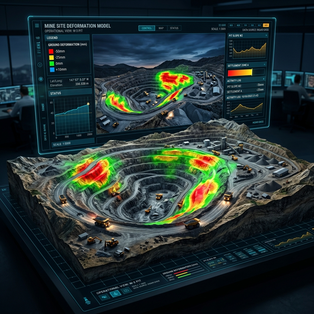
Deformation patterns are analysed spatially and temporally to identify significant trends and anomalies.

Risk Alerts &
Reporting
Key deformation zones, trends and areas requiring attention are presented through maps, time-series analysis and technical reporting.

Informed
Decision-Making
Consultants can use these insights alongside field data, site investigations and other engineering information.
Continuous
Monitoring
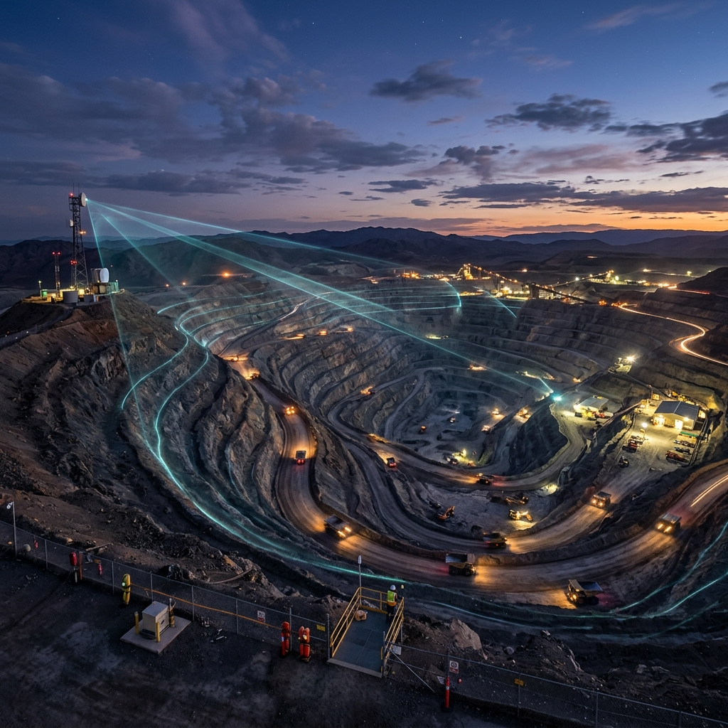
Repeat satellite observations allow deformation behaviour to be tracked throughout the project lifecycle.
SAMPLE INSIGHT
Deformation Map + Time-Series Analysis
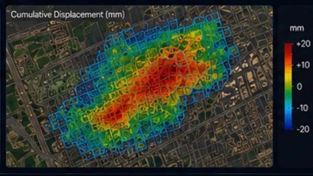
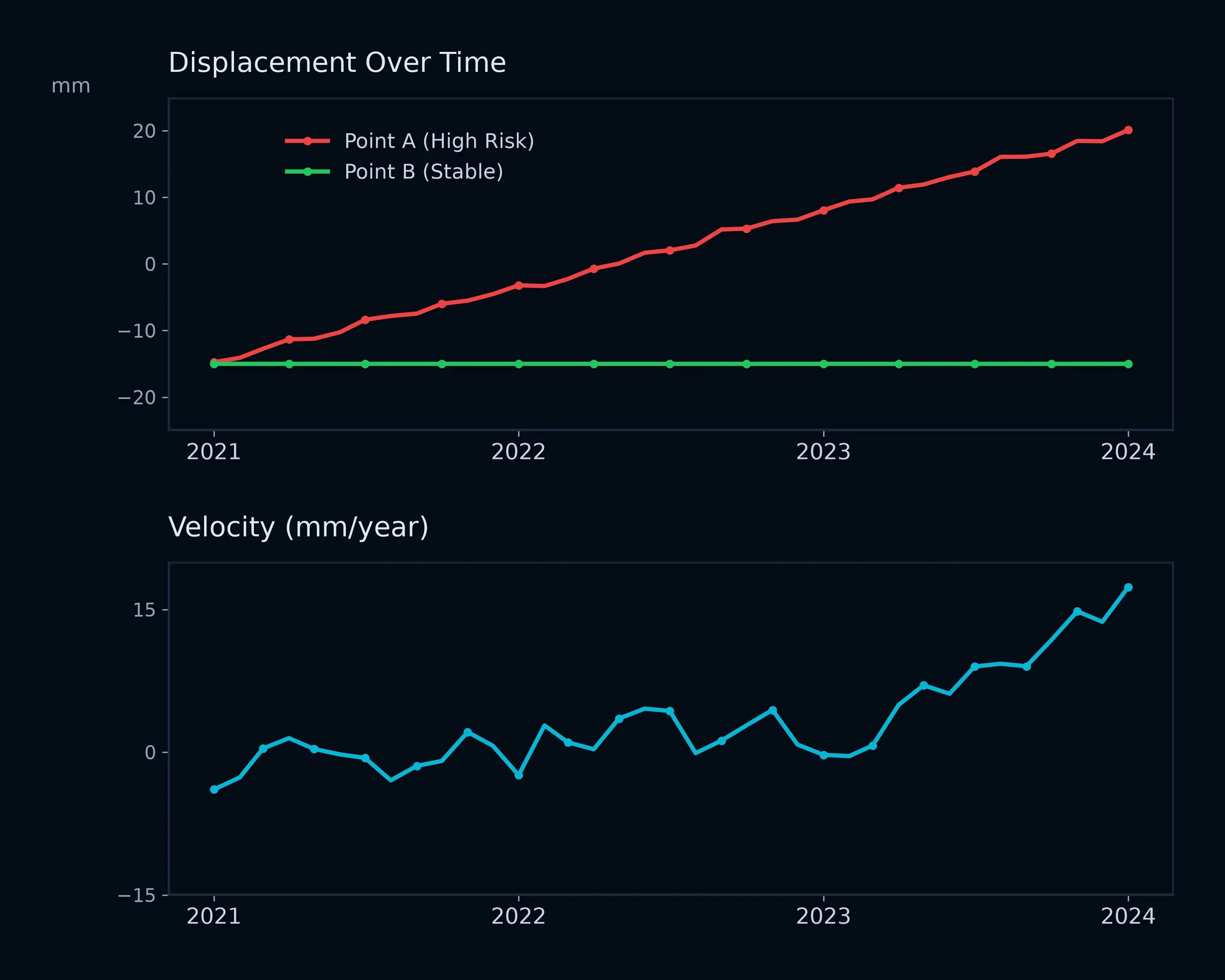
Combine spatial deformation patterns with temporal movement trends to develop a clearer understanding of ground behaviour across your project.