
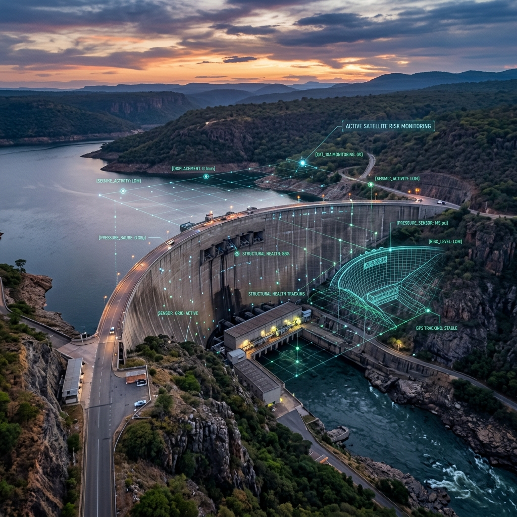
FINANCIAL INSTITUTIONS & LENDERS
See the Physical Risk Behind the Assets You Finance
Whether you finance mining operations, infrastructure projects, energy assets or urban developments, physical deterioration can create financial exposure. InSpectiv Labs provides satellite-based ground deformation intelligence to help you assess and monitor the physical condition of financed assets.
BUILT FOR YOUR PORTFOLIO
Mining & Resources
Assess deformation around mines, slopes, tailings areas and other critical mining assets.
Infrastructure & Construction
Monitor financed roads, bridges, buildings, railways, tunnels and major construction projects.
Energy & Utilities
Assess ground stability around power facilities, pipelines, renewable-energy projects and utility infrastructure.
Urban Development
Monitor large real-estate and urban-development projects for subsidence and ground movement.
KEY CAPABILITIES
Pre-financing physical-risk assessment
Historical deformation analysis
Independent asset monitoring
Portfolio-level risk visibility
Ongoing monitoring of financed assets
THE CHALLENGE
Financial institutions may have significant exposure to physical assets, but traditional financial and operational reporting does not always reveal emerging ground-related risks.
You need visibility into: Is the asset experiencing deformation, and is that risk changing over time?
OUR SOLUTION
InSpectiv Labs provides an independent, satellite-based view of ground deformation around financed assets.
We help lenders identify historical deformation, understand current movement and monitor changes over time.
WHAT WE MONITOR
HOW IT WORKS

Satellite Data
Acquisition
Historical and current satellite radar data is collected for the asset or project area.

InSAR
Processing
Satellite observations are processed to measure subtle changes in the Earth's surface.
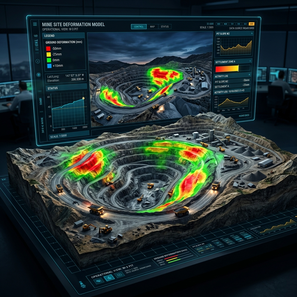
Deformation
Analysis
We analyse the magnitude, location and evolution of deformation across the asset.
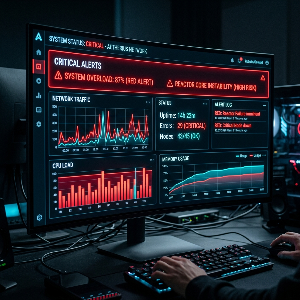
Risk Alerts &
Reporting
Significant deformation patterns are translated into clear risk-focused reports and visualisations.

Informed
Decision-Making
The insights can support due diligence, project evaluation, portfolio monitoring and risk conversations.
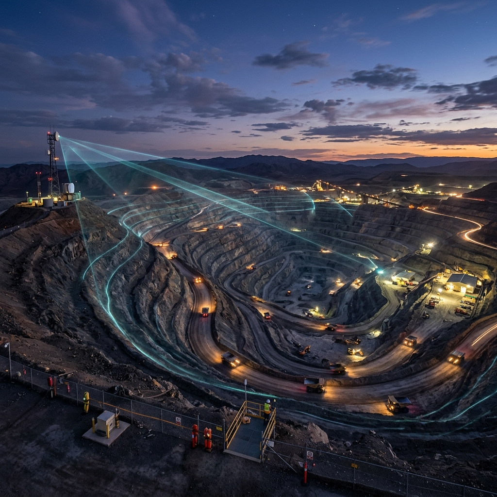
Continuous
Monitoring
Regular monitoring provides visibility into whether deformation is stable, increasing or newly emerging.
SAMPLE INSIGHT
Deformation Map + Time-Series Analysis
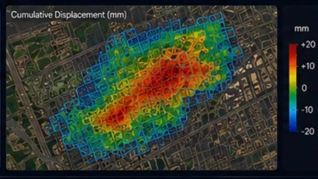
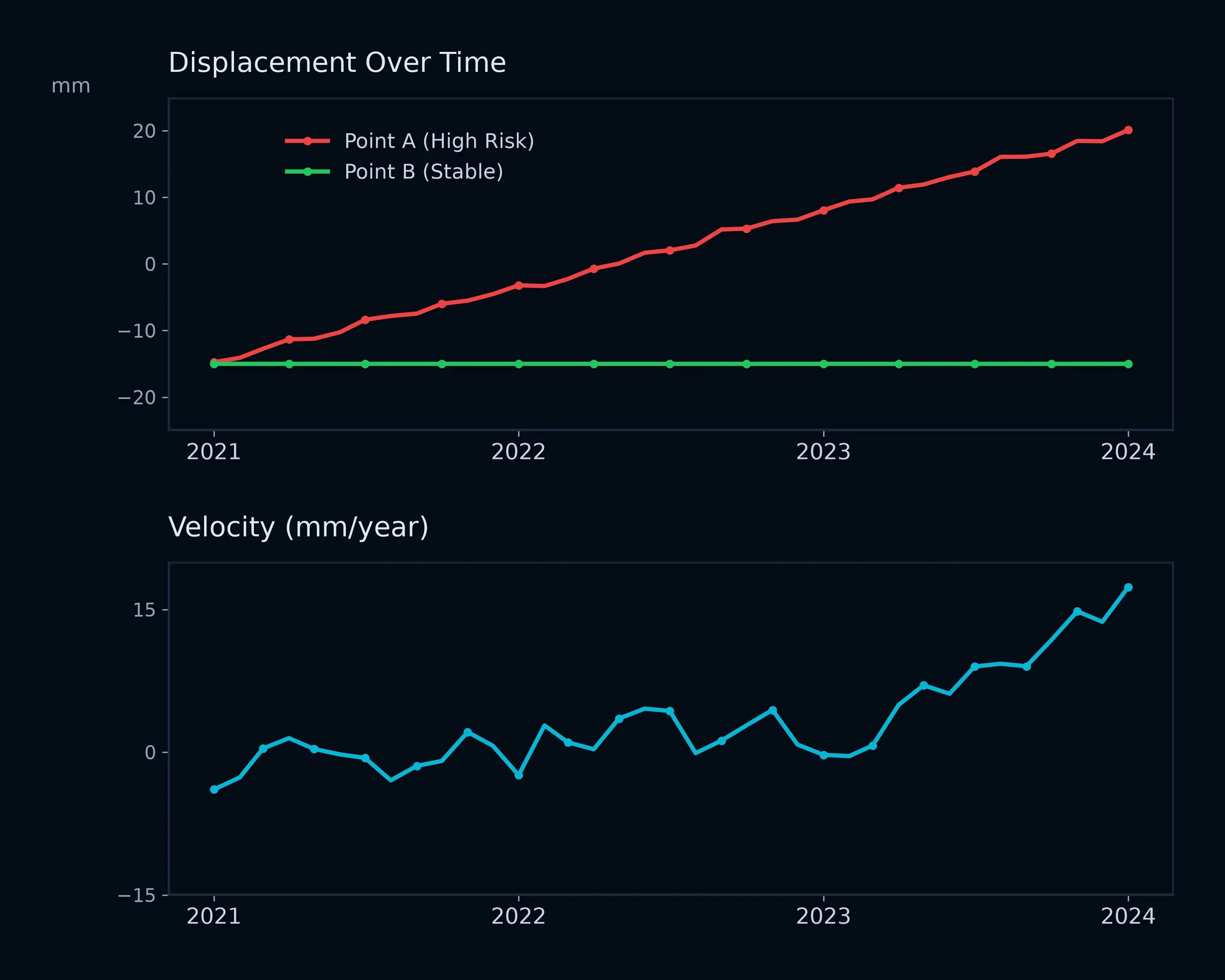
Identify deformation hotspots and understand whether movement is stable, persistent or changing over time.