
INSURANCE & RISK PROFESSIONALS
Turn Ground Movement into Actionable Risk Intelligence
Whether you're assessing a mine, infrastructure project, energy facility or urban development, understanding the history and progression of ground movement can be critical for underwriting, risk assessment and claims. InSpectiv Labs uses satellite-based InSAR analytics to provide historical and ongoing deformation intelligence across insured assets and surrounding areas.
BUILT FOR YOUR RISK ASSESSMENTS
Mining & Resources
Assess historical and ongoing deformation around mines, slopes, tailings areas and other mining assets.
Infrastructure & Construction
Analyse deformation around roads, bridges, buildings, tunnels and construction sites.
Energy & Utilities
Monitor pipelines, power facilities, renewable-energy projects and other critical energy infrastructure.
Urban Development
Assess subsidence and ground movement around buildings, development sites and surrounding infrastructure.
KEY CAPABILITIES
Historical deformation assessment
Pre-event baseline analysis
Claims investigation support
Post-event monitoring
Ongoing risk monitoring
THE CHALLENGE
Ground deformation can develop gradually and may not be fully understood through a single site inspection.
For insurers and risk professionals, it can be important to establish: Where did movement occur? When did it begin? How has it progressed? Is it continuing?
OUR SOLUTION
InSpectiv Labs analyses historical and current satellite radar data to identify and quantify ground deformation, providing an additional source of objective, location-based evidence.
WHAT WE MONITOR
HOW IT WORKS

Satellite Data
Acquisition
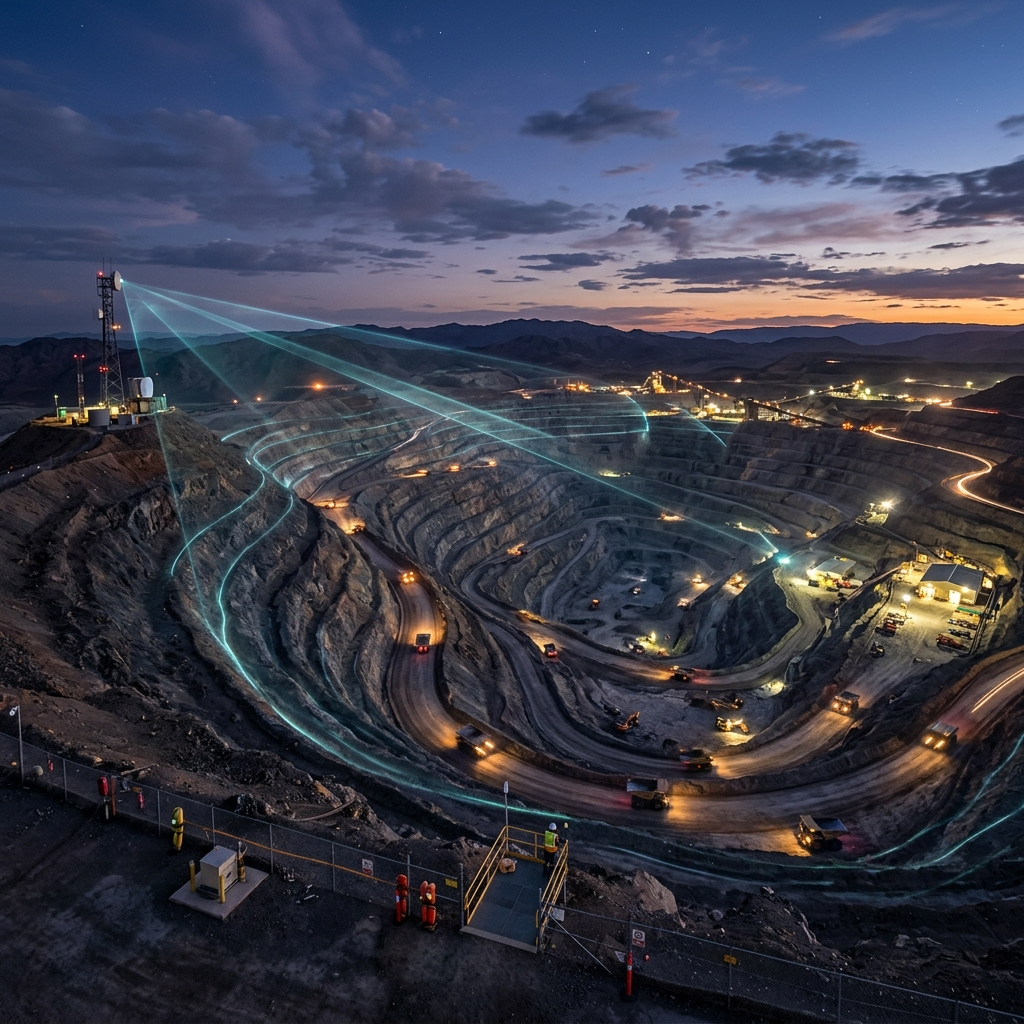
We collect historical and/or ongoing satellite radar observations covering the insured asset and surrounding area.

InSAR
Processing
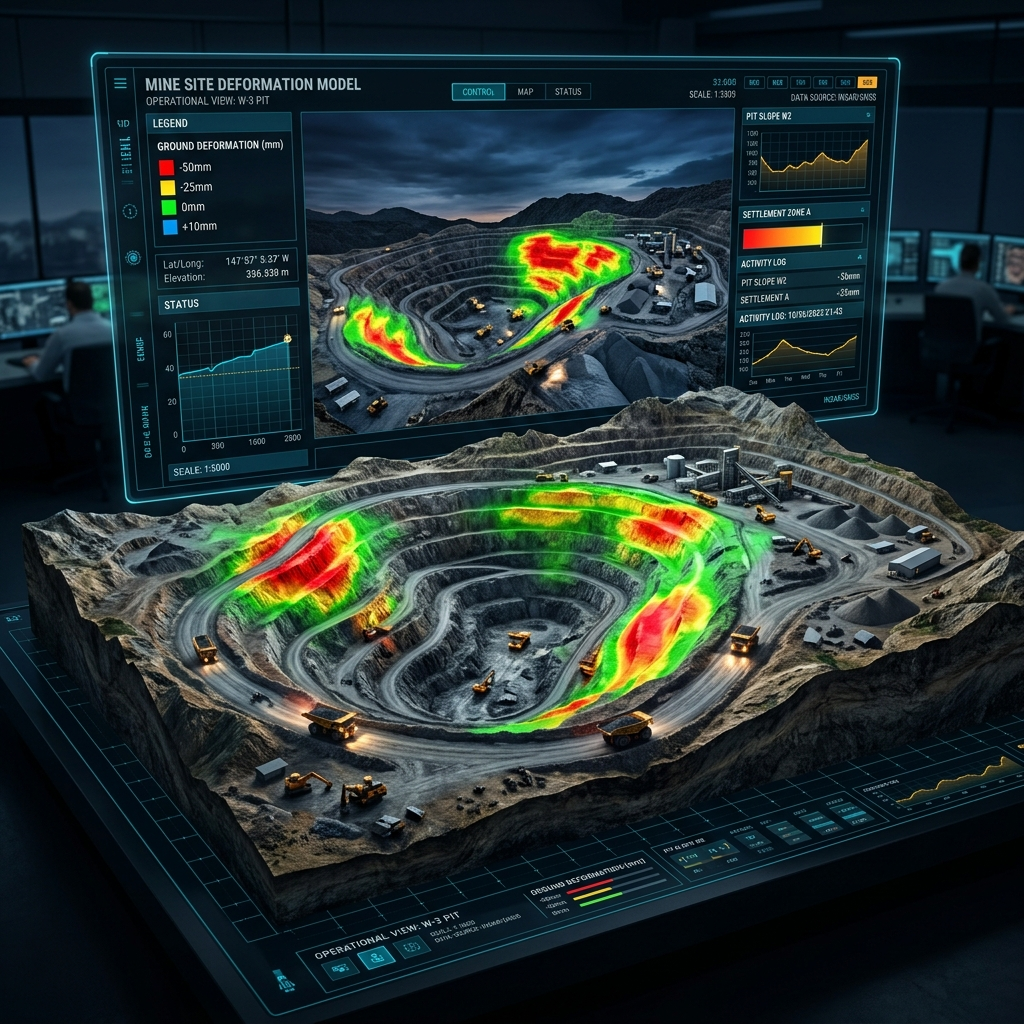
Multiple radar images are processed to identify subtle surface deformation.
Deformation
Analysis
We analyse the location, magnitude and temporal behaviour of detected movement.

Risk Alerts &
Reporting
Relevant deformation zones and movement trends are presented through maps, time-series graphs and analytical reports.

Informed
Decision-Making
The insights can support underwriting, risk assessment, claims investigation and loss evaluation.
Continuous
Monitoring
Regular monitoring helps track whether deformation is stable, increasing or continuing after an event.
SAMPLE INSIGHT
Deformation Map + Time-Series Analysis
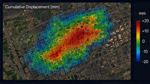
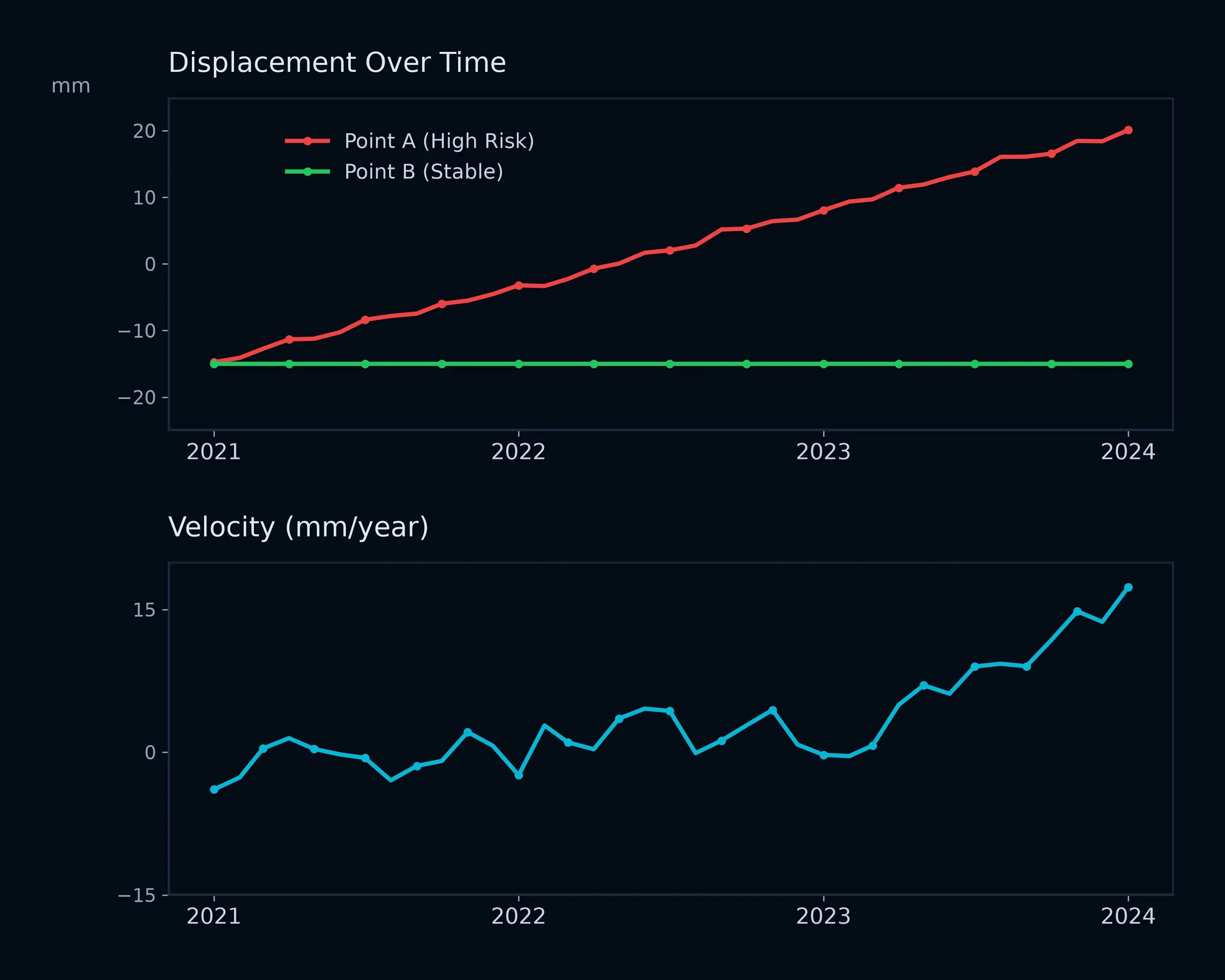
Understand where deformation occurred and how its behaviour changed over the monitored period.